Log in
All resources
Create a design
33,796 Free Images of 1598 Maps
maps in the library of congress
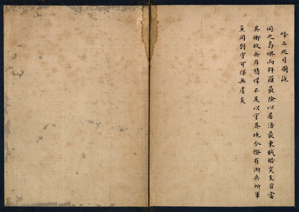
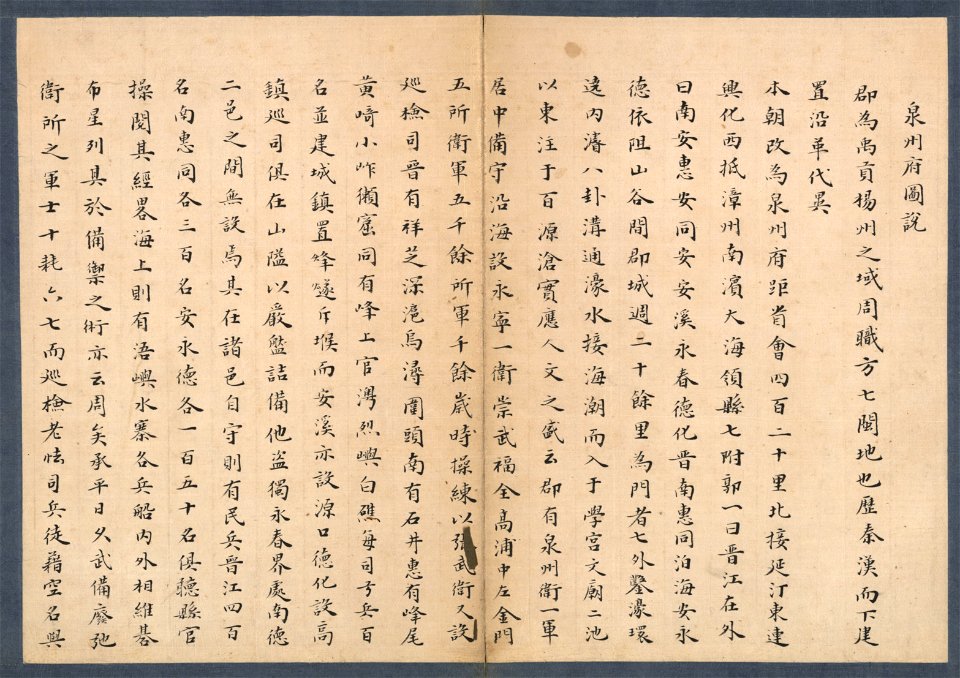
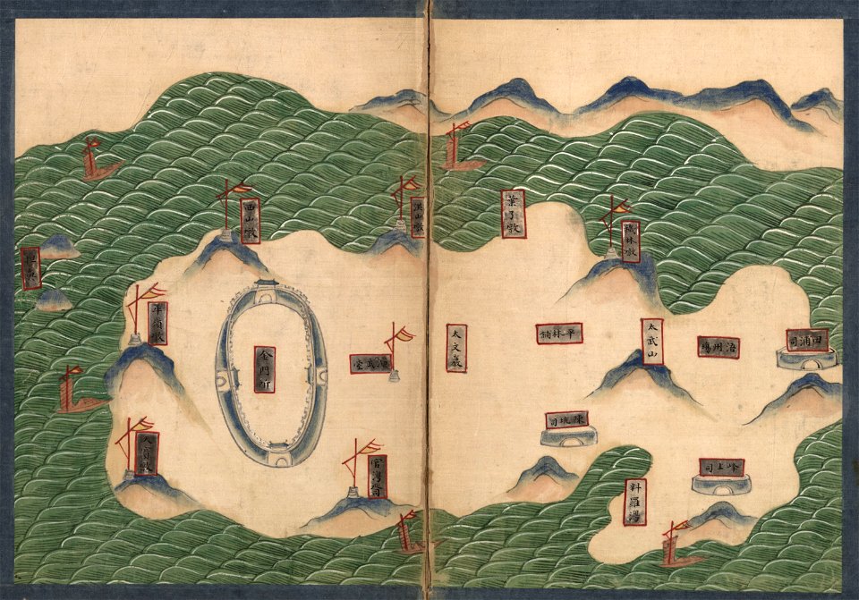
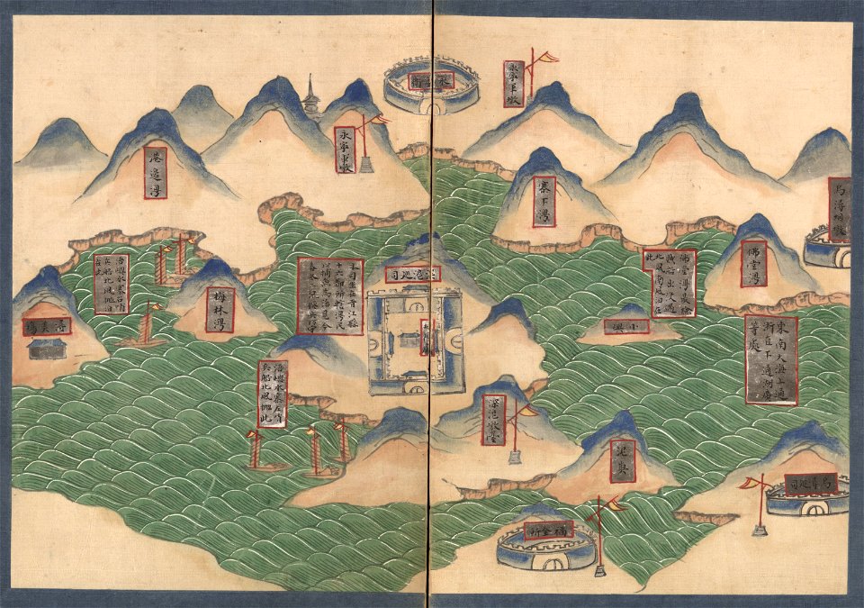
quanzhou fu yu di tu shuo
new york city
george hayward
images from the new york public library
old maps of manhattan
maps from valentine's manual
maps made in the 18th century
atlantis magni tomus primus (biblioteca comunale di trento)
pieter schenk (i)
maps in the library of congress
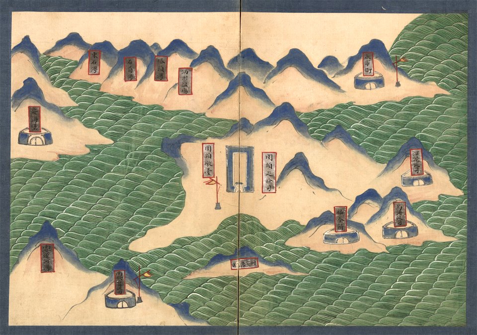
quanzhou fu yu di tu shuo
maps in the library of congress
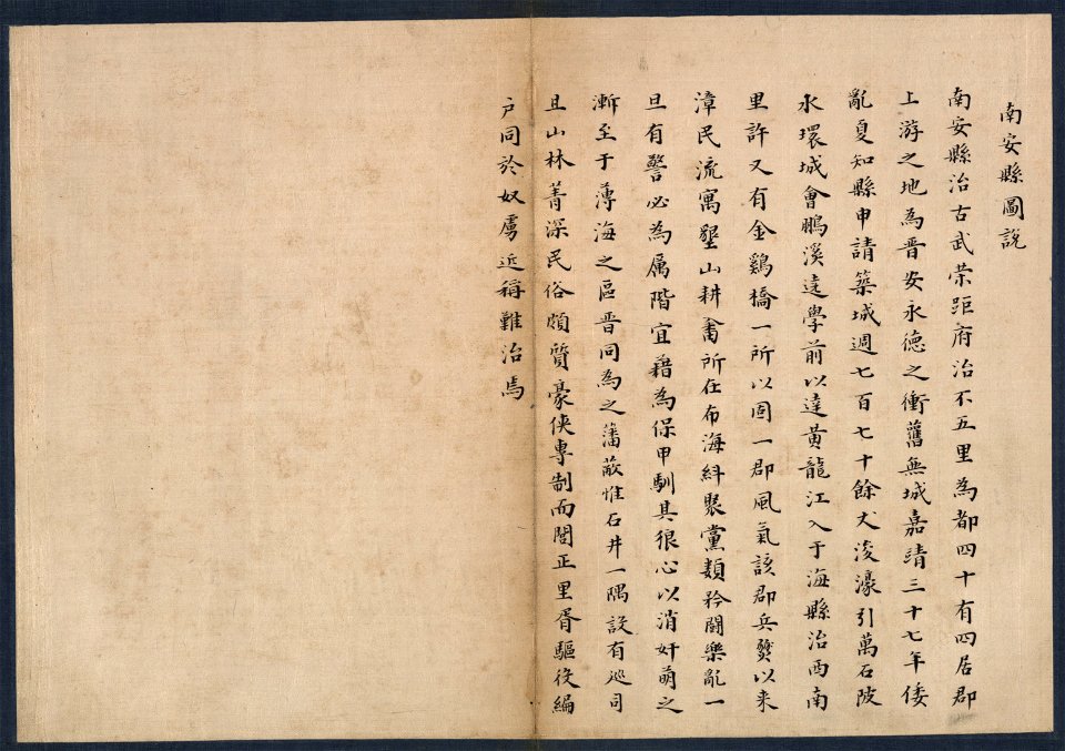
quanzhou fu yu di tu shuo
maps in the library of congress
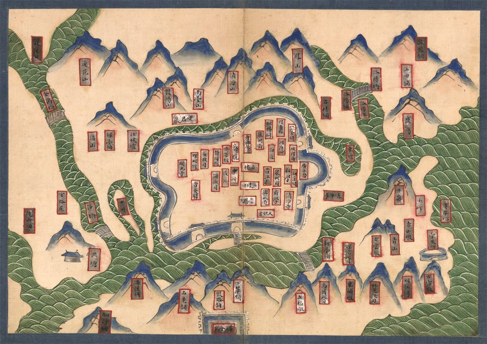
quanzhou fu yu di tu shuo
maps in the library of congress
quanzhou fu yu di tu shuo
maps in the library of congress
quanzhou fu yu di tu shuo
maps in the library of congress
quanzhou fu yu di tu shuo
maps in the library of congress
quanzhou fu yu di tu shuo
maps in the library of congress
quanzhou fu yu di tu shuo
maps in the library of congress
quanzhou fu yu di tu shuo
maps in the library of congress
quanzhou fu yu di tu shuo
maps in the library of congress
quanzhou fu yu di tu shuo
maps in the library of congress
quanzhou fu yu di tu shuo
maps in the library of congress
quanzhou fu yu di tu shuo
maps in the library of congress
quanzhou fu yu di tu shuo
maps in the library of congress
quanzhou fu yu di tu shuo
maps in the library of congress
quanzhou fu yu di tu shuo
maps in the library of congress
quanzhou fu yu di tu shuo
maps in the library of congress
quanzhou fu yu di tu shuo
maps in the library of congress
quanzhou fu yu di tu shuo
maps in the library of congress
quanzhou fu yu di tu shuo
maps in the library of congress
quanzhou fu yu di tu shuo
maps in the library of congress
quanzhou fu yu di tu shuo
maps in the library of congress
quanzhou fu yu di tu shuo
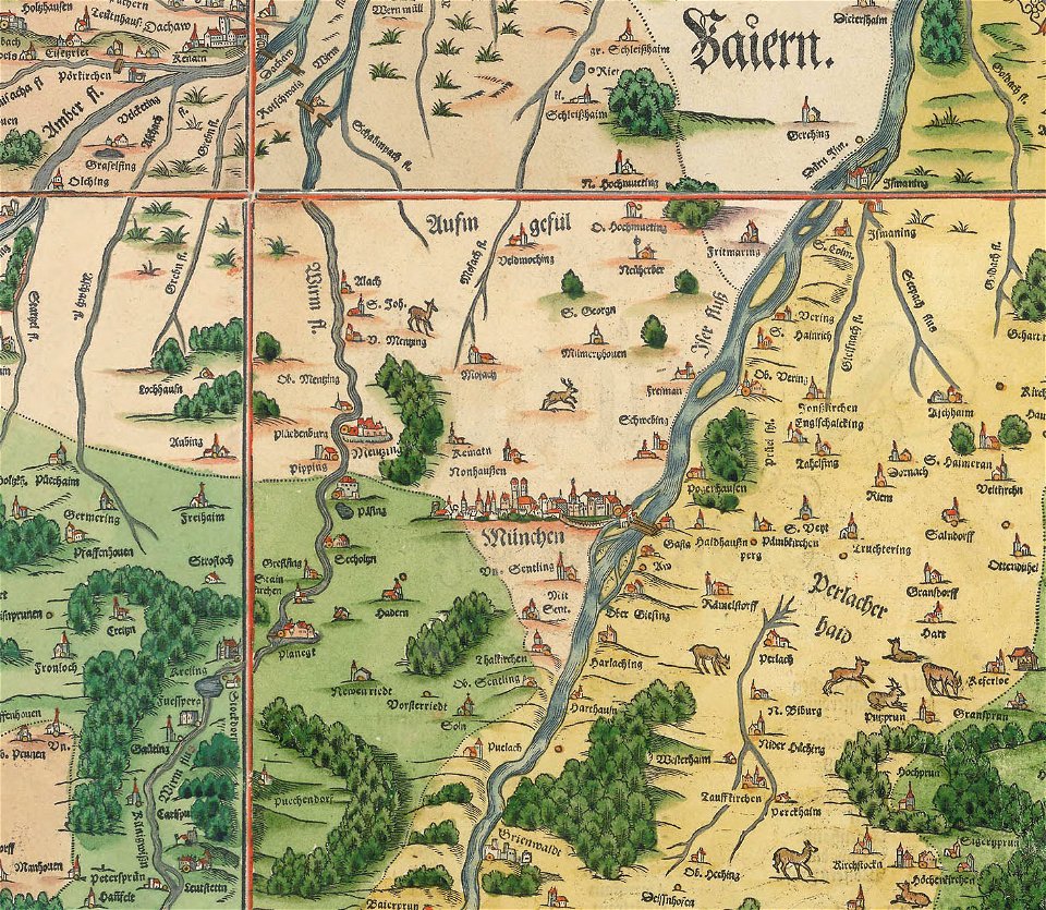
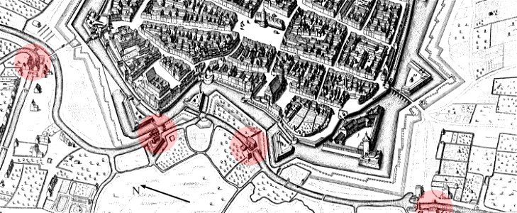
snippets of philipp apian's bairische landtafeln
old maps of boroughs in munich
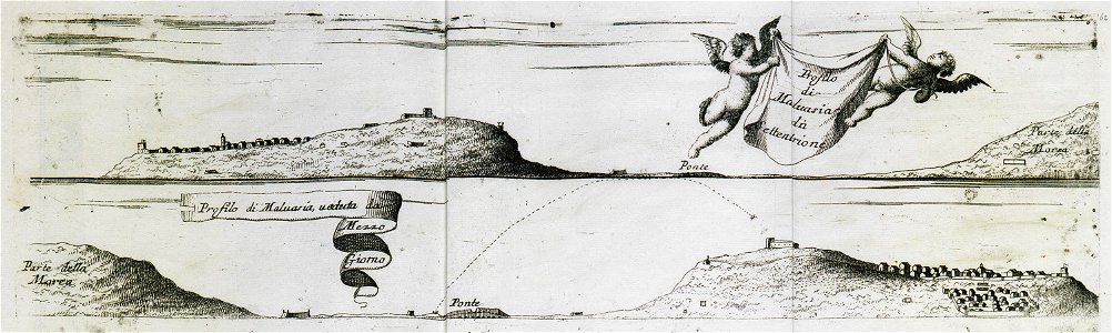
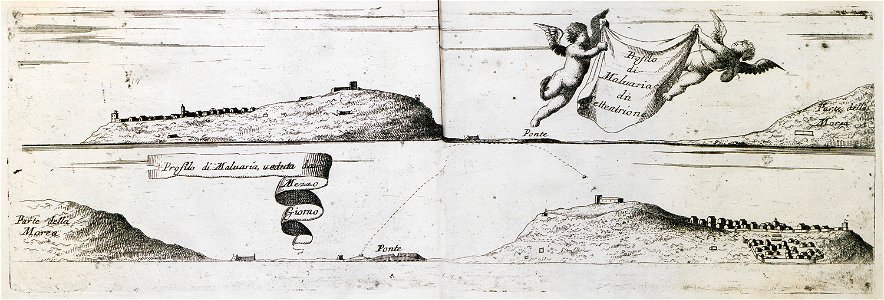
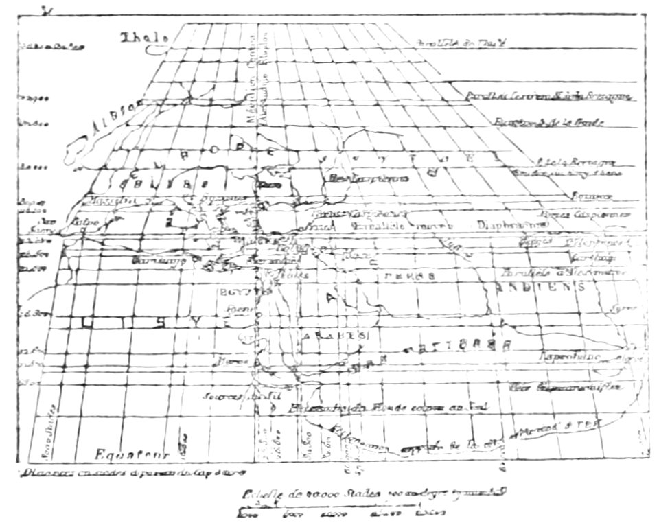
geographical illustrations by coronelli
old maps of the peloponnese
geographical illustrations by coronelli
old maps of the peloponnese
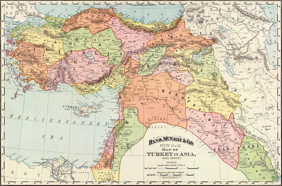
old administrative maps of the ottoman empire
rand mcnally
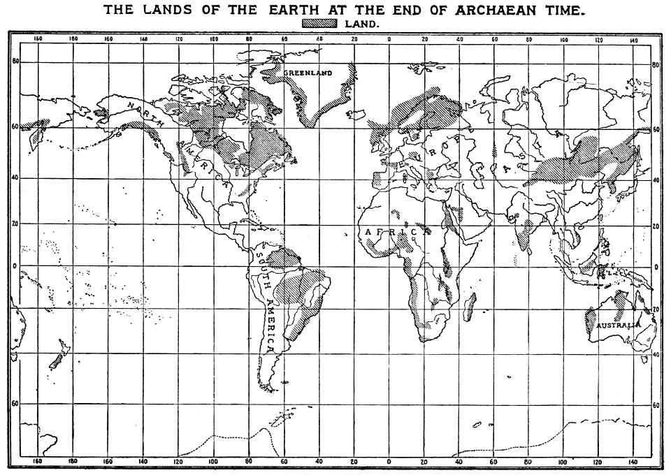
popular science monthly illustrations/volume 16
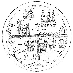
10th-century maps of the world
popular science monthly illustrations/volume 16
12th-century maps of the world
popular science monthly illustrations/volume 16
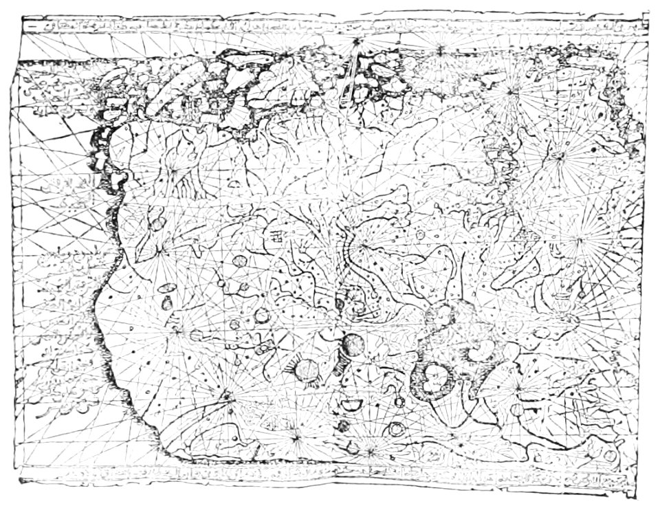
maps made in the 13th century
popular science monthly illustrations/volume 16
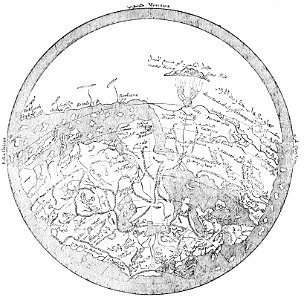
ancient greek maps of the world
popular science monthly illustrations/volume 16
11th-century maps of the world
east river
hells gate
history of geology
1896 maps
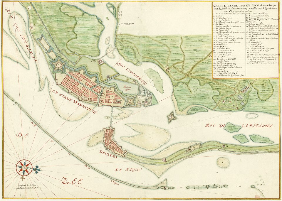
old maps of dutch brazil
1665
popular science monthly illustrations/volume 16
ancient greek maps of the world
watermills in leipzig
1650 in leipzig
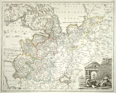
old maps of saint petersburg governorate
atlas of the russian empire (1792)
johann joseph couven
old maps of aachen
zwolse diep (channel)
maps of the zuiderzee
maps in the national library of new zealand
artwork by charles heaphy
16th-century images of rome
old maps of rome
how i found livingstone
djvu files in french
how i found livingstone
djvu files in french
how i found livingstone
djvu files in french
collection de la bibliothèque municipale de reims
old maps of aube
atlas of the russian empire (1800)
tver governorate
illustrations from 'robinson crusoe' by walter paget
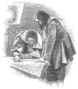
people with maps in art
old maps of saint petersburg governorate
atlas of the russian empire (1800)
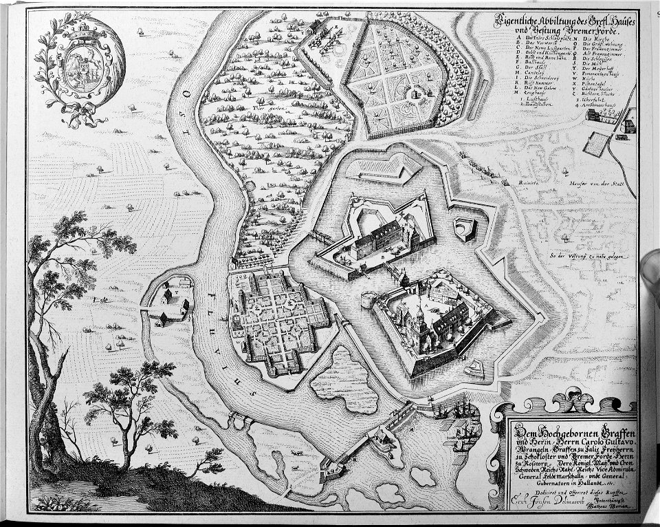
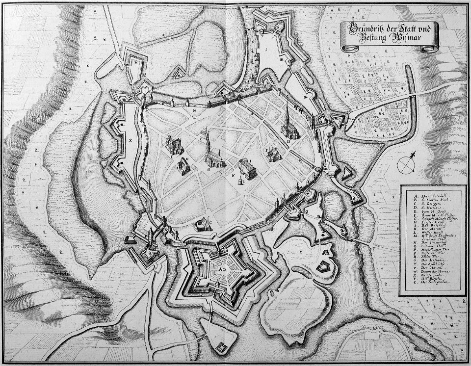
engravings of topographia saxoniae inferioris
maps of bremervörde
engravings of topographia saxoniae inferioris
topographia saxoniae inferioris (merian)
vättern
vänern
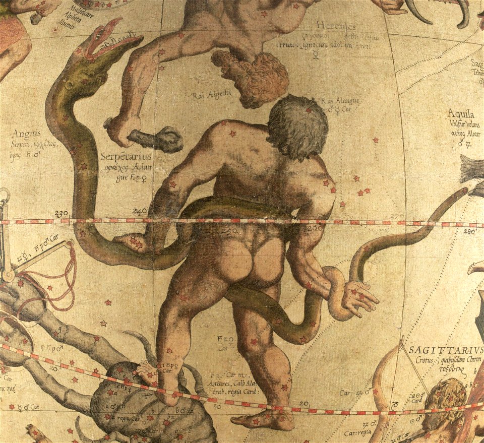
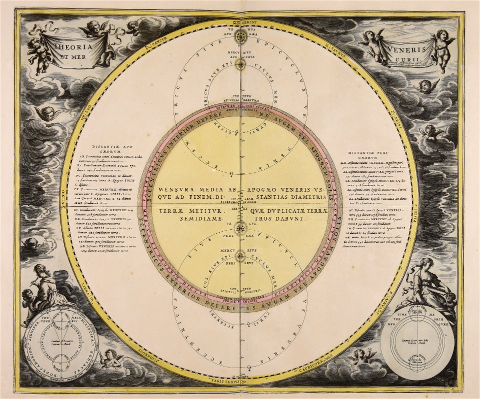
ophiuchus (constellation)
maps by gerardus mercator
bibliothèque municipale de reims
rès. g 153
breitenlee
aspern
university of toronto wenceslas hollar digital collection
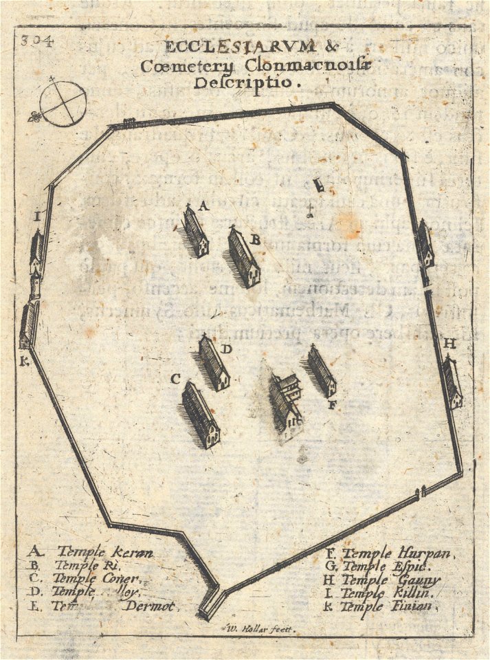
clonmacnoise
voyagie door italien
dalmatien
geographical illustrations by coronelli
old maps of the peloponnese
woodcuts of switzerland
15th-century woodcuts
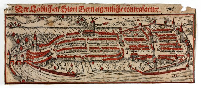
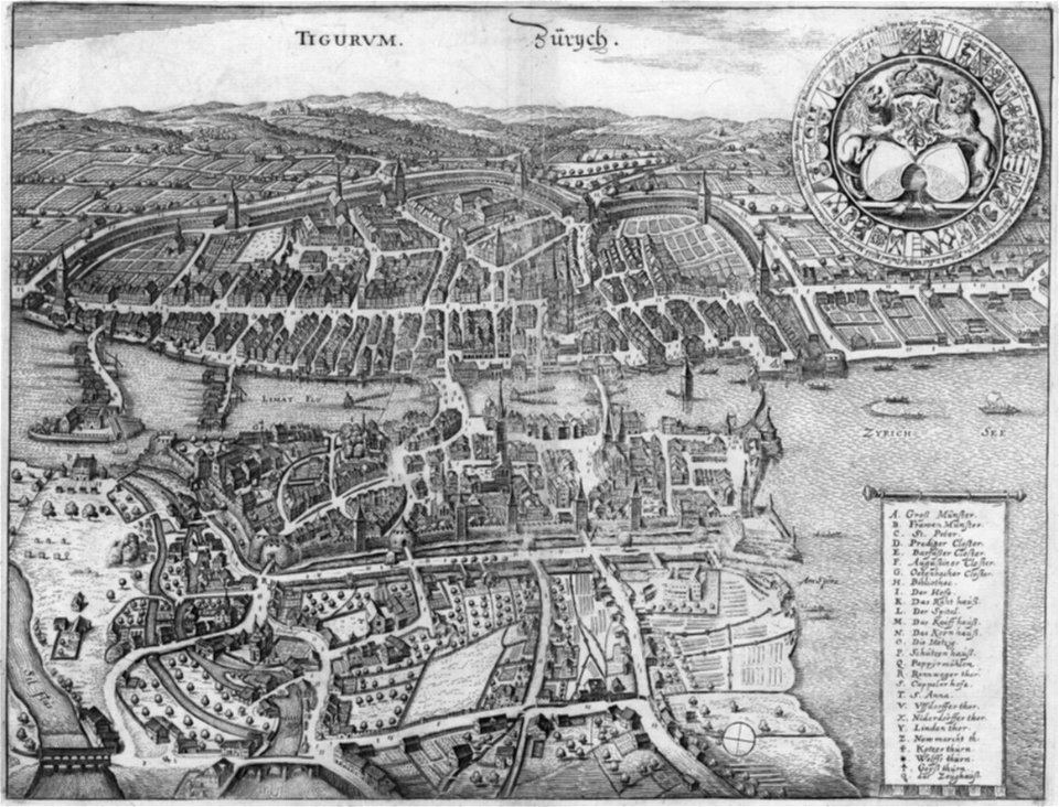
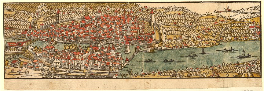
old maps of zürich
merian helvetiae
graphische sammlung der zentralbibliothek zürich
old maps of zürich
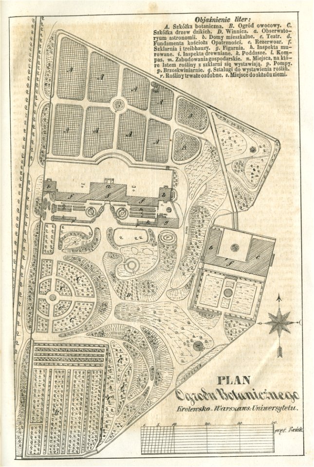
historical maps of warsaw
warsaw in the 1840s
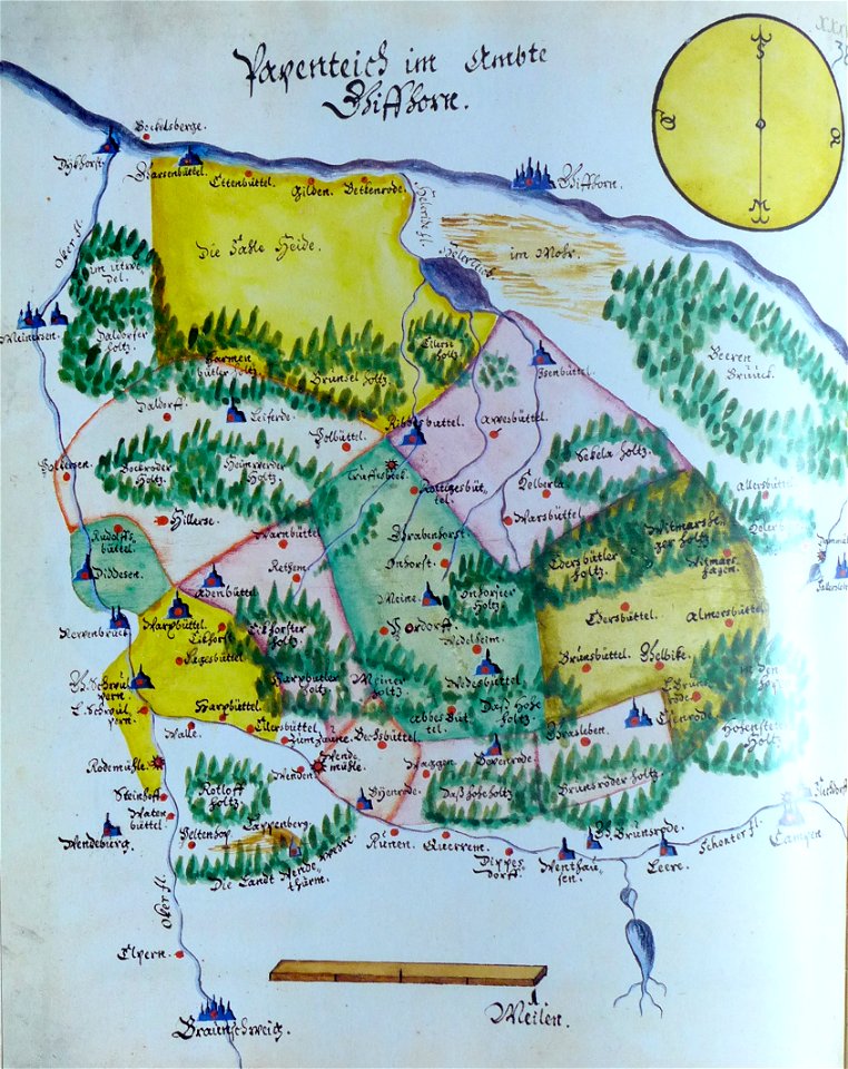
ämteratlas des fürstentums lüneburg von johannes mellinger
mein
grandville (caricaturist)
people with maps in art
1758
1756
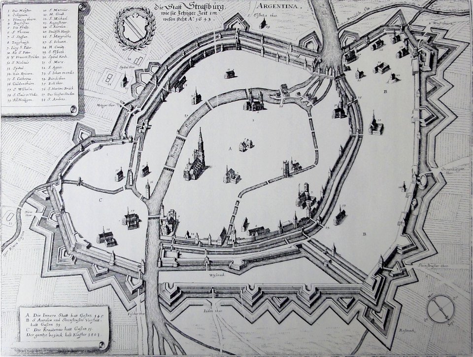
collections de la bibliothèque nationale et universitaire de strasbourg
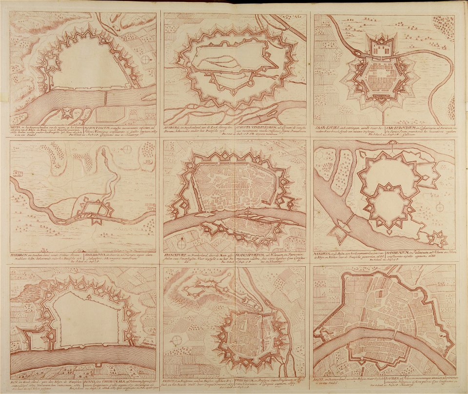
old maps of territories in the upper rhenish circle
maps from the mechanical curator collection
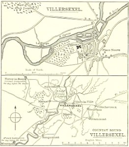
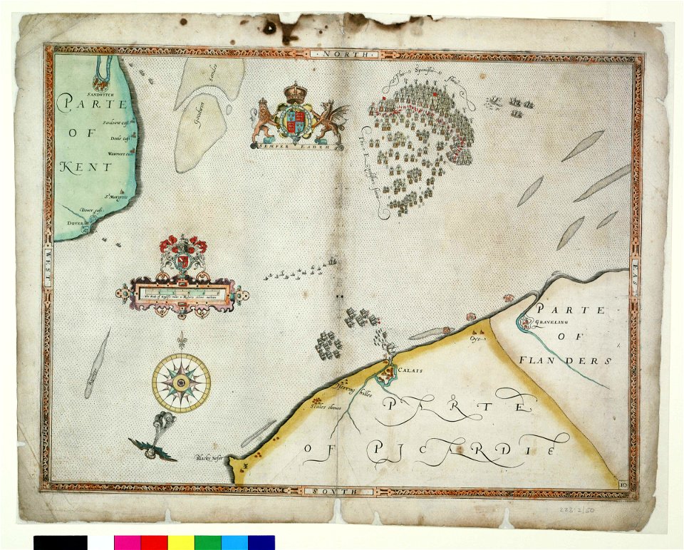
british battles on land and sea
historical images of villersexel
1895 drawings
castle island
bermuda
streets in hamburg-langenhorn
hamburger stadtentwässerung
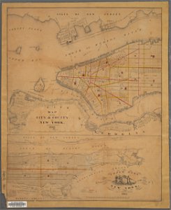
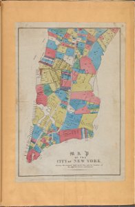
george hayward
new york city
george hayward
new york city
17th-century maps of maastricht
maps of the franco-dutch war
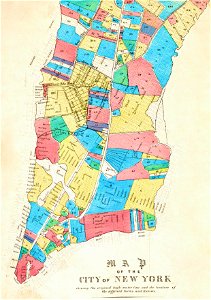
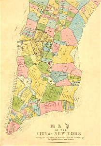
manual of the corporation of the city of new york (1861)
new york city
dutch 17th-century prints in the rijksmuseum amsterdam
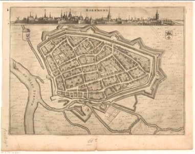
roermond in the 17th century
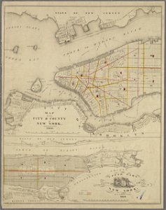
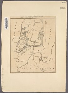
george hayward
new york city
george hayward
new york city
george hayward
new york city
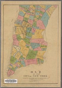
manual of the corporation of the city of new york (1856)
new york city
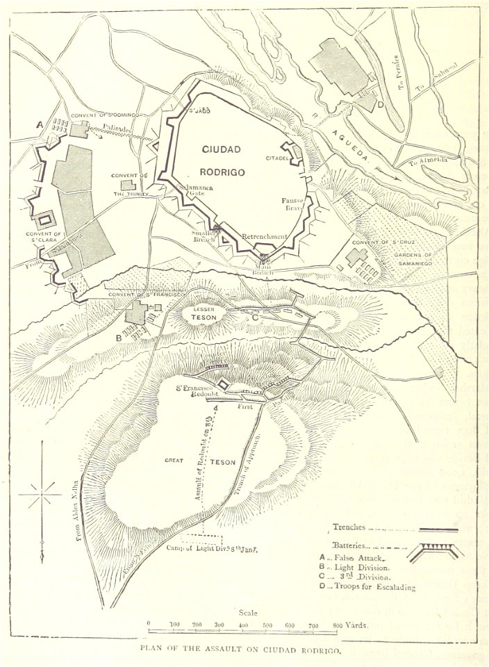
maps from the mechanical curator collection
british battles on land and sea
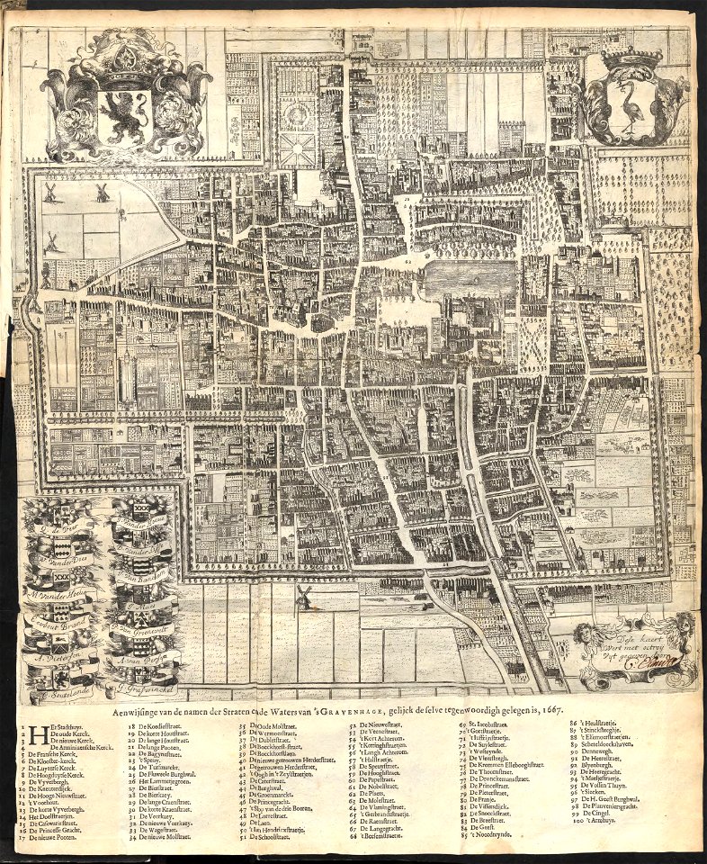
old maps of the hague
1668
old maps of the canton of zürich
maps made in the 16th century
artworks with known accession number
artworks without wikidata item
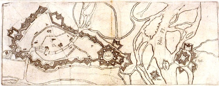
history of rhine river in germany
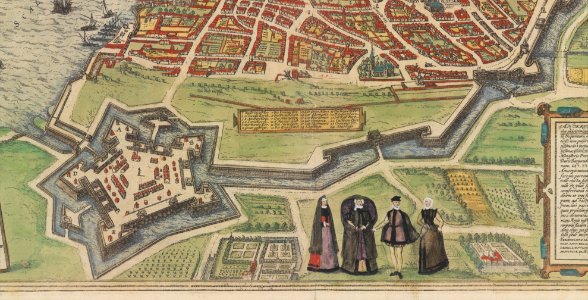
vauban
fonds ancely - bibliothèque municipale de toulouse - maps
coats of arms of cities in pyrénées-atlantiques
broad street
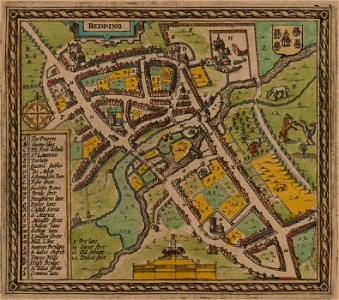
reading
1853
54
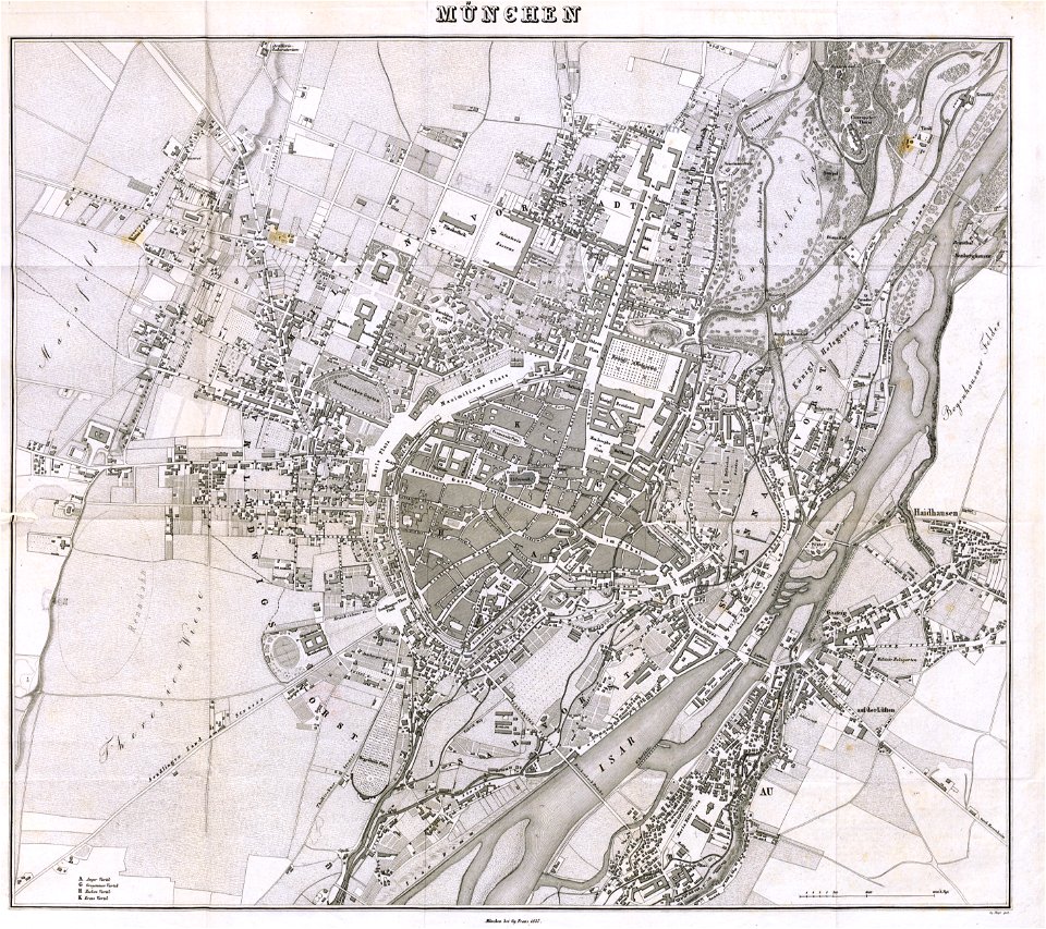
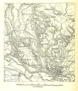
munich in the 19th century
old city maps of munich
maps made in the 18th century
gerard valck
maps from the mechanical curator collection available to georeference
maps from the mechanical curator collection
maps in utrecht university library
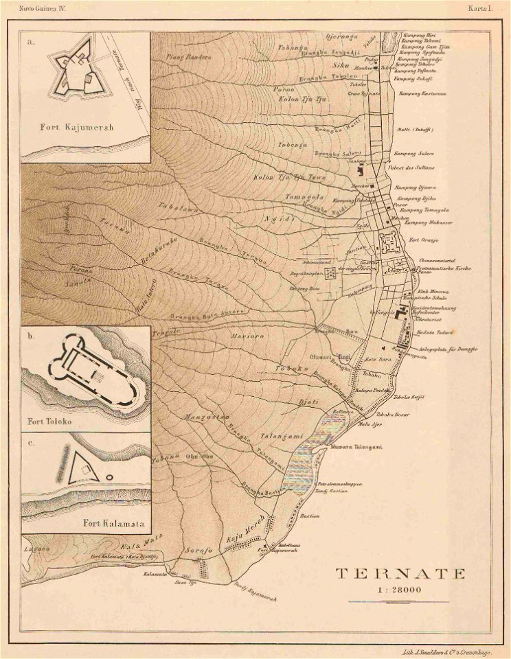
indonesia
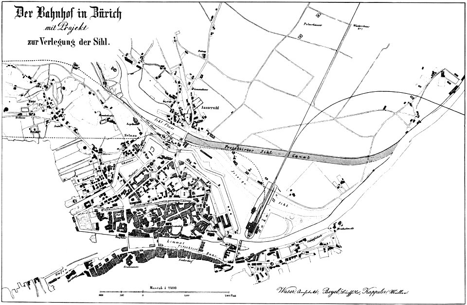
history of rail transport in switzerland
aussersihl
collections of the cabinet des estampes et des dessins
strasbourg
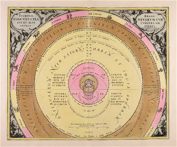
maps made in the 18th century
gerard valck
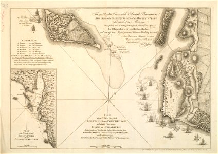
charts and maps of the royal museums greenwich
1590 maps
maps made in the 18th century
18th-century engravings
maps made in the 18th century
18th-century engravings
maps made in the 18th century
18th-century engravings
maps made in the 18th century
18th-century engravings
maps made in the 18th century
18th-century engravings
8301 - 8400 of 33,796
Next page
/ 338